Geological & Topographical Mapping
We provide comprehensive mapping services ranging from regional scouting to detailed scale. Our precise spatial and geological data serves as the accurate foundation for mineral resource analysis, mine infrastructure planning, and geotechnical risk mitigation.
Precision mapping for accurate resource estimation
Accurate surface data is the critical first step in determining the success of your exploration program and mine operational efficiency.
What we deliver in mapping services
Our team of geologists and surveyors combines traditional field observation with modern survey technology. We deliver a deep understanding of lithology, geological structures, and land morphology to support confident decision-making.

What mapping work includes
Our mapping scope covers the entire lifecycle of your mining project. From initial regional reconnaissance to high-precision engineering surveys, we deploy the right mix of skilled personnel and advanced technology to capture reliable surface and subsurface data.
Preliminary Geological Survey
Evaluating outcrops, rock types, and mineralization potential to understand the geological context of the prospect area.
Topographical Mapping
Using GPS and Theodolite devices to create high-precision morphological pictures and local topography maps.
Structural Analysis
In-depth observation of rock seams, geological conditions, and sedimentation environments to support exploitation planning.
Logistics & Environment
Surveying route accessibility, estimating logistics to the nearest port, and assessing environmental impacts on the mining area.
Comprehensive mineral exploration services supporting accurate resource evaluation and project development.
Accurate drilling solutions from touch coring to full coring, supported by experienced drillers and reliable drilling rigs.
Resistivity, seismic, magnetic, gravity, MT, AMT, and GPR surveys for mineral, geotechnical, and environmental projects.
Geophysical logging services including gamma ray, caliper, and density logging for accurate subsurface interpretation.
Projects include coal, nickel, gold, iron ore, limestone, sand, and water exploration, delivered for national and international clients.
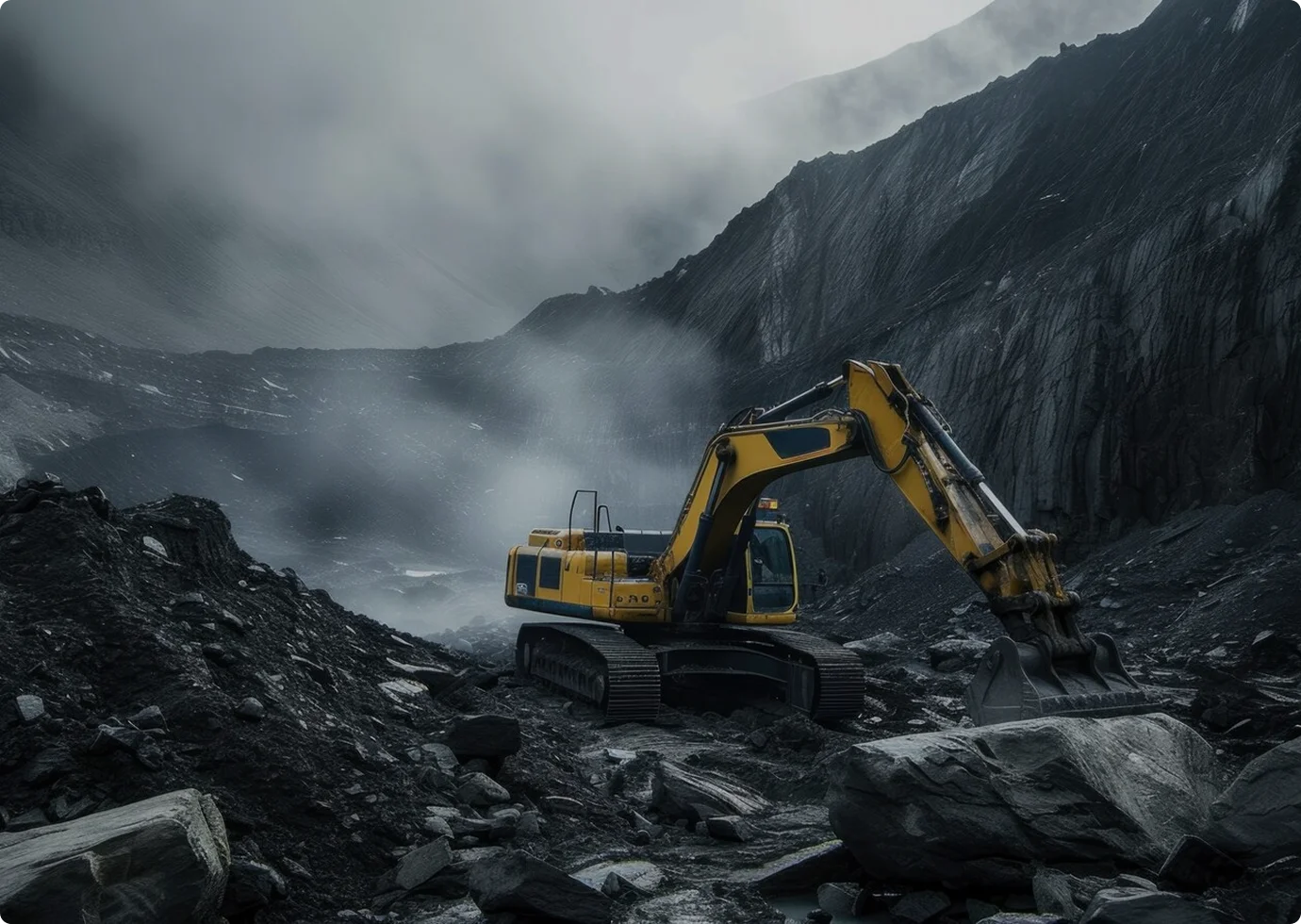
Coal Resource Inventory
PT Bukit Asam Tbk
Exploration drilling and resource modeling for measured reserve estimation.
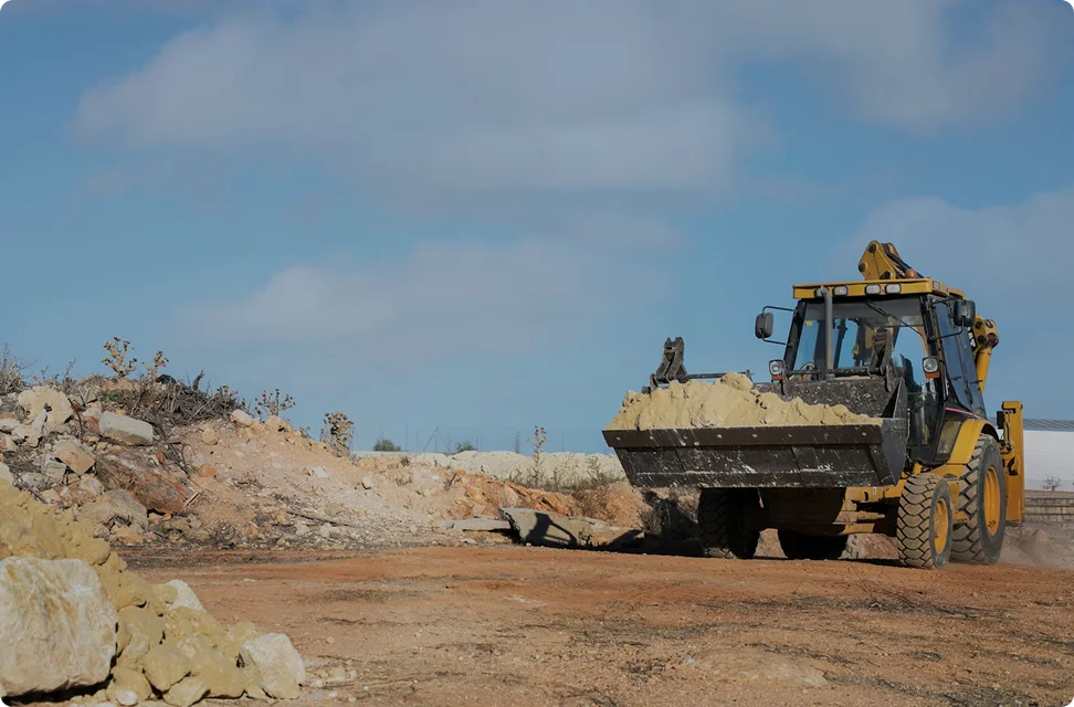
Nickel Exploration Survey
PT Trimegah Bangun Persada
Geophysical survey and topographic mapping for nickel prospect areas.

Iron Ore Site Investigation
PT Sebuku Iron Lateritic Ores
Detailed geological study and core sampling for ore grade analysis.

Geotechnical Monitoring
PT Kalimantan Prima Persada
Geotechnical supervision and slope stability monitoring for infrastructure.
Health, Safety & Environmental Commitment
We are committed to maintaining high standards of safety, environmental responsibility, and professional ethics in every project we undertake.